Omeo (11/09/1905)
Coogee Beach

The 605-ton barque-rigged iron screw steamer was built at Newcastle, England in 1858. Part of its cargo on its maiden voyage to Australia were the materials and equipment for laying the Bass Strait submarine cable. After many years carrying passengers and cargo between Melbourne and Adelaide and then New Zealand Omeo was sent to Port Darwin in 1870 on charter to the contractors completing the northern section of the Overland Telegraph line linking Australia to Britain via Singapore. It then played a major part in the construction of the overland telegraph line from Darwin, carrying telegraph poles and cargo 160 km up the Roper River.
After making over 100 round trips to New Zealand its engines were removed in 1880 and funnel replaced with a new mast. As a 4-masted ‘jackass barque’ ( Two square and two barque rigged masts). In that distinctive livery Omeo voyaged between Melbourne and Newcastle and it traded for many years in the Pacific and Indian Oceans carrying passengers and cargo.
During its long life Omeo suffered a number of collisions, including one in which it demolished with the Swanspit Lighthouse in Port Phillip Bay, luckily with no loss of life and another after a voyage from Japan when it was run into by a steamer while at anchor in at Sydney Harbour and nearly sunk. In September 1895 it arrived at Hamelin Bay with cargo, passengers and stock and in the following month ran aground after destroying part of the jetty there while loaded with 500 tons of jarrah timber.
After being refloated it was sent to Fremantle for use as a hulk (a redundant ship used as a floating warehouse, often carrying coal for steamers). There it was used to service steamers from the Blue Star line After a decade in that service, it became redundant and was left on a mooring possibly in Owen Anchorage, the old port for Fremantle. The West Australian newspaper recorded that, on the afternoon of September 12 1905, … Omeo which was abandoned about half a mile from the shore parted its moorings and drifted onto the beach between Robbs Jetty and Woodmans Point’. Sand built up around the hull making it uneconomic to refloat the ship and for many years it was a popular fishing and picnic spot for families who would walk across the sand to the site. The area slowly became industrialised and as abattoirs and tanneries began to dot the adjacent coastline a rock groyne was constructed along the coast and just inshore of the wreck causing the sand to reduce and the sea to cut the wreck off from the coast. One abattoir had its outlet pipe in the remains.
Though the Department of the Post Master General had interest in recovering the ship, given its role in the development of Australia’s communication network, the idea was abandoned. In 1993 two of the ships anchors were found c. 45 metres west of the wreck and subsequently raised. Apparently thrown overboard as the wreck difted ashore, their stocks had not been set and they proved useless in the strong winds.
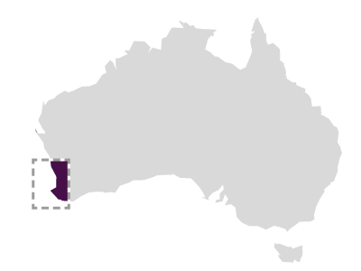
The wreck of Omeo is located approximately 40m off Coogee Beach, mostly submerged in approximately 2-4m of water. The sternpost and a section of the collapsed bow triangle are the only features that permanently protrude from the water. The shipwreck site encompasses an area of approximately 75m x 15m, and has been mapped by Maritime Archaeology Association of WA using 3D digital photogrammetry: http://www.maawa.net/3dmappr. Omeo is the premier shore-based shipwreck dive in the Perth Metropolitan area. The Western Australia Museum worked with the City of Cockburn, Perth NRM and Murdoch University Divers to develop the Coogee Maritime Trail. This special trail invites visitors to explore some of Western Australia’s fascinating maritime archaeology and marine biology.
Ship Built
Owner Howard Smith & Sons, Melbourne
Master Calder
Builder A. Leslie and Co
Country Built UK
Port Built Newcastle-on-Tyne
Port Registered Melbourne
When Built 1858
Ship Lost
Grouped Region Metro
Sinking Parted cables, driven ashore
When Lost 11/09/1905
Where Lost Coogee Beach
Latitude -32.105566
Longitude 115.761533
Position Information DGPS WGS84 (28/04/99)
Port From At anchor, Cockburn Sound
Port To At anchor, Cockburn Sound
Cargo Coal
Ship Details
Engine 120 HP auxiliary (removed)
Length 64.90
Beam 9.30
TONA 789.00
TONB 710.00
Draft 5.10
Museum Reference
Official Number 40338
Unique Number 302
Sunk Code Abandoned
File Number 2009/0171/SG _MA-19/80
Chart Number AUS 117
Protected Protected Federal
Found Y
Inspected Y
Date Inspected 2000/02/18
Confidential NO