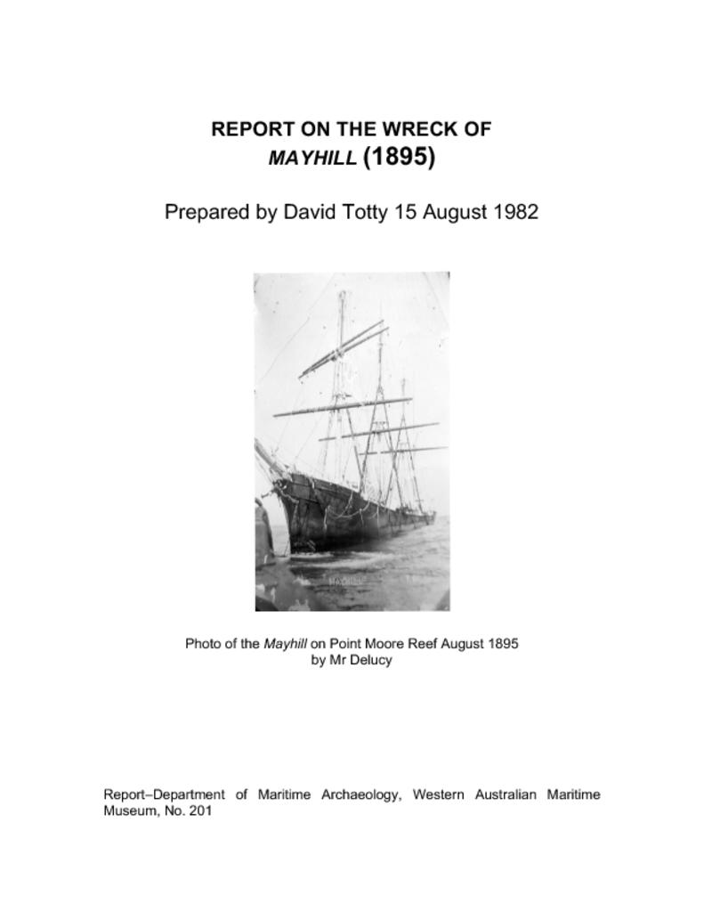
Report on the wreck of Mayhill (1895)
Author/s D. Totty
Year of publication 1982
Report Number: 201
Report on Mayhill survey 6 March 1980Peter Worsley, Bill Dunne and David Totty dived with the intention of surveying the site. The wind was north-west, sea choppy. Underwater on the wreck site there was a surge taking the divers 8 metres across the site. The facts below is all we could do/find out on the day.
- The wreck lies east west.
- Length of site: after 60 metres the tape snagged and broke.
- Stern/rudder section measures 2.16 m high off the reef, 1.53 m wide lying 60° NE, 240 WSW.
- A section of keel east of stern lying 55° NE, 235 WSW.
- Another section of keel further east again completely separate, lying 55° NE 225° WSW.
- Around the stern section is an assortment of wreckage thought to be part of the ship’s steering gear and side nails from the stern deck.
