
Today marine scientists have a wealth of new technologies to help them describe marine life and habitats. The use of SCUBA diving for scientific discovery began in the 1950s and was championed by Jacques Cousteau. In the 21st century scientists can make maps of the seabed using hydroacoustic technology which uses sound to ‘ping’ the seabed and give measures of depth and texture.
Cameras are towed from boats to film the organisms that live on the seabed beyond diving depths and use BRUVs (baited remote underwater videos) to record fish species and their abundances. All this information is overlayed to create a picture of Western Australia’s marine environments. This information can be compared to historic information and to measure change into the future. This knowledge will help us to manage and protect our ocean heritage.
The Marine Futures project has twelve partners, including the Museum, government agencies, university and research organisations, that are mapping, assessing and modelling marine environments at the Houtman Abrolhos, Jurien Bay, Rottnest Island, Cape Naturaliste/Geographe Bay, Albany, Fitzgerald and Eastern Recherche. It is estimated that approximately 50% of the sponge species collected during the Marine Futures project are unknown and awaiting formal description as new species. This research will establish a baseline for the future monitoring of the changes in these environments.

Carcharodon carcharias
Image reproduced courtesy of Marine Futures, photography by Alex Grochowski
Meuschenia hippocrepis
Image reproduced courtesy of Marine Futures, photography by Di Watson

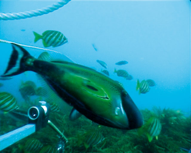
Meuschenia galii
Image reproduced courtesy of Marine Futures, photography by Di Watson