View Species
Ophiothrix plana
Authority: Lyman, 1874
Family: Ophiotrichidae
Ophiothrix plana was found at:
Distribution by Station:
- DA1/98/05 — S end of the N side of Legendre Island
- DA1/98/06 — N shore of Hauy Island
- DA1/98/07 — Near S end of the W coast of Gidley Island
- DA1/98/08 — Mid point of island, off W coast of Angel Island
- DA1/98/10 — Passage between Angel and Gidley Islands
- DA1/98/11 — W coast of S part of Dolphin Island
- DA1/98/12 — Off W coast near S end of Angel Island
- DA1/98/13 — N side, near W end of Hamersley Shoals
- DA1/98/15 — Cape Legendre at NW end of Legendre Island
- DA1/98/16 — E side, near SW end of Hamersley Shoals
- DA1/98/17 — Flying Foam Passage, Wilcox Island
- DA1/98/19 — Bay on the E side near S point of Hauy Island
- DA1/98/20 — E side of Collier Rocks
- DA1/98/22 — Outside reef on W side - N end of Delambre Island
- DA1/98/23 — Large bay on E side of Dolphin Island
- DA1/98/25 — S tip of Keast Island
- DA1/98/26 — Madeleine Shoals
- DA1/98/27 — N coast, to E of the mid point of Legendre Island
- DA1/98/29 — Midway along SW side of Legendre Island
- DA1/98/31 — Island towards E end of Sea Ripple Passage
- DA1/98/33 — Off the NE point of Angel Island
- DA2/99/08 — N-NW of the NW point of Delambre Island
- DA2/99/18 — SE of Sloping Point, Burrup Peninsula
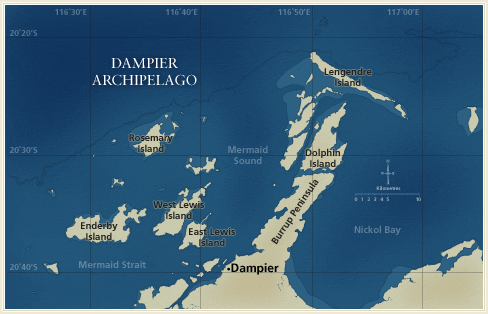
- DA2/99/37 — W-NW of Marks Point, West Lewis Island
- DA2/99/39 — E-NE of Bluff Point, Enderby Island
- DA2/99/65 — NW of light on East Intercourse Island
- DA2/99/82 — N of the N point of Kendrew Island
- DA2/99/84 — E of Tish Point, Rosemary Island
- DA3/99/36 — Off E end of the N coast of Malus Islands
- DA3/99/40 — W of Brigadier Island
- DA3/99/43 — Sailfish Reef, NW of Rosemary Island
- DA3/99/46 — NW side of Kendrew Island
- DA3/99/51 — W side of large bay on N coast of Enderby Island
- DA3/99/52 — N-NW of Roly Rock
- DA3/99/53 — NE coast of Enderby Island
- DA3/99/54 — S side of large bay on the E coast of Enderby Island
- DA3/99/64 — S coast of West Lewis Island
Documents
- Echinoderms of the Dampier Archipelago, Western Australia
Loisette M. Marsh and Susan M. Morrison
Search Options
![]()
![]()
![]()