View Species
Dardanus imbricatus
Authority: (H. MILNE EDWARDS, 1848)
Family: Diogenidae
Dardanus imbricatus was found at:
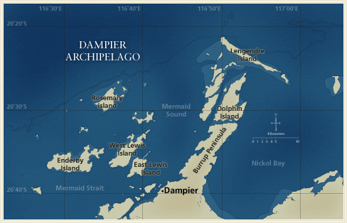
Distribution by Station:
- DA2/99/08 — N-NW of the NW point of Delambre Island
- DA2/99/21 — E of Sloping Point, Burrup Peninsula
- DA2/99/23 — W of Cape Legendre
- DA2/99/24 — N of Lady Nora Island
- DA2/99/32 — NE of Courtenay Head Light, Malus Island
- DA2/99/34 — W of High Point, on island NE of West Lewis Island
- DA2/99/44 — W of the SW point of Goodwyn Island
- DA2/99/51 — W of the SW point of Goodwyn Island
- DA2/99/52 — W of the SW point of Goodwyn Island
- DA2/99/55 — NW of Roly Rock
- DA2/99/56 — W of Roly Rock
- DA2/99/57 — N of Roly Rock
- DA2/99/60 — E-SE of Courtenay Head Light, Malus Island
- DA2/99/69 — SE of the SE point of Goodwyn Island
- DA2/99/71 — S of Rocky Head, Enderby Island
- DA2/99/72 — S-SW of Rocky Head, Enderby Island
- DA2/99/73 — S of Rocky Head, Enderby Island
- DA2/99/74 — SE of Rocky Head, Enderby Island
- DA2/99/82 — N of the N point of